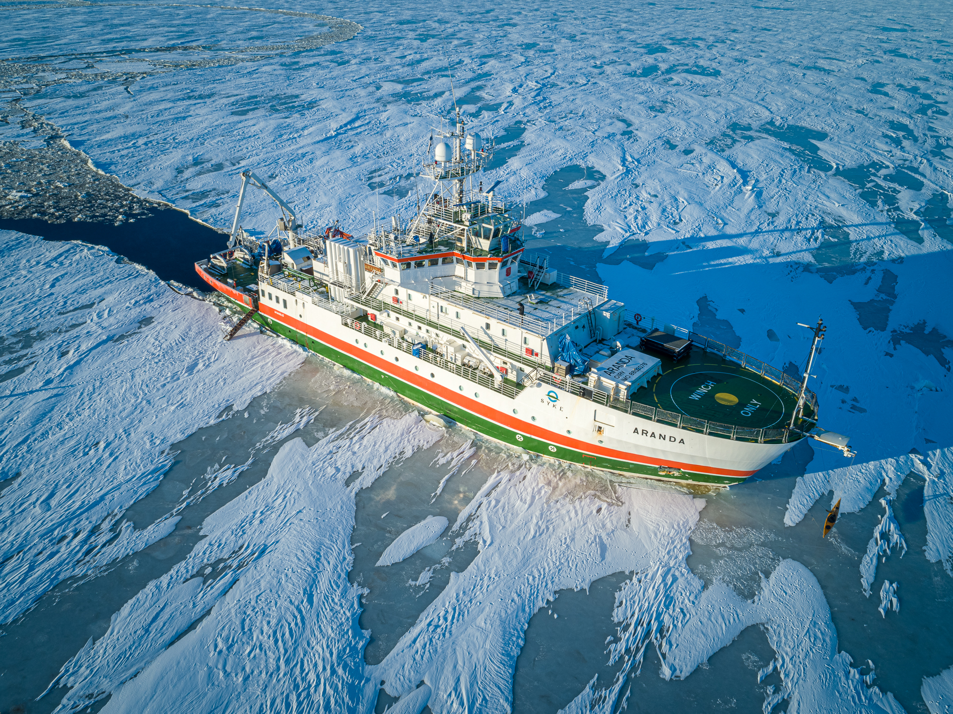
Meridata has successfully completed trials of bathymetry and sub-bottom profiling systems on board research vessel Aranda, owned and operated by the Finnish Environment Institute (SYKE).
Following an international tender process, Meridata was contracted to provide chirp sub-bottom profiling and multibeam echosounder systems for the recently refurbished vessel. This included Meridata's High-definition SBP operating in multiple frequency bands from 0.5 to 50 kHz, as well as a Sonic 2026 MBES from R2Sonic for acquiring water column, seabed reflectivity and bathymetry data at frequencies from 90 to 450 kHz.
The systems are controlled by Meridata MDCS software, which enables intelligent trigger management for minimizing interference between acoustic systems, plus acquisition, visualization and recording of data from the systems alongside pertinent position and attitude data.
"This renewal truly represents a historic event for Finnish oceanographic research. State-of-the-art acoustic mapping facilities for the water column, seabed, submerged objects and sub-seabed will enable us to cover wider areas, and also to map in much better detail than ever before. Such capabilities open up new possibilities for all disciplines of our research", commented SYKE's spokesperson.
R/V Aranda is a multi-disciplinary oceanographic research vessel that mainly operates in the Baltic Sea, but has undertaken missions in the Arctic and the Antarctic, as well as the North Sea. (R/V Aranda photo by Ilkka Lastumäki, SYKE)


